Discover… Villeray
Villeray is located on the northern part of the island of Montreal, in the borough Villeray-Saint-Michel-Parc-Extension. It is bordered by Jean-Talon to the south, Cremazie Boulevard to the north, Casgrain Avenue to the east and Garnier to the west, and is surrounded by Ahuntsic, Petite-Patrie, Parc-Extension and Saint Michel.
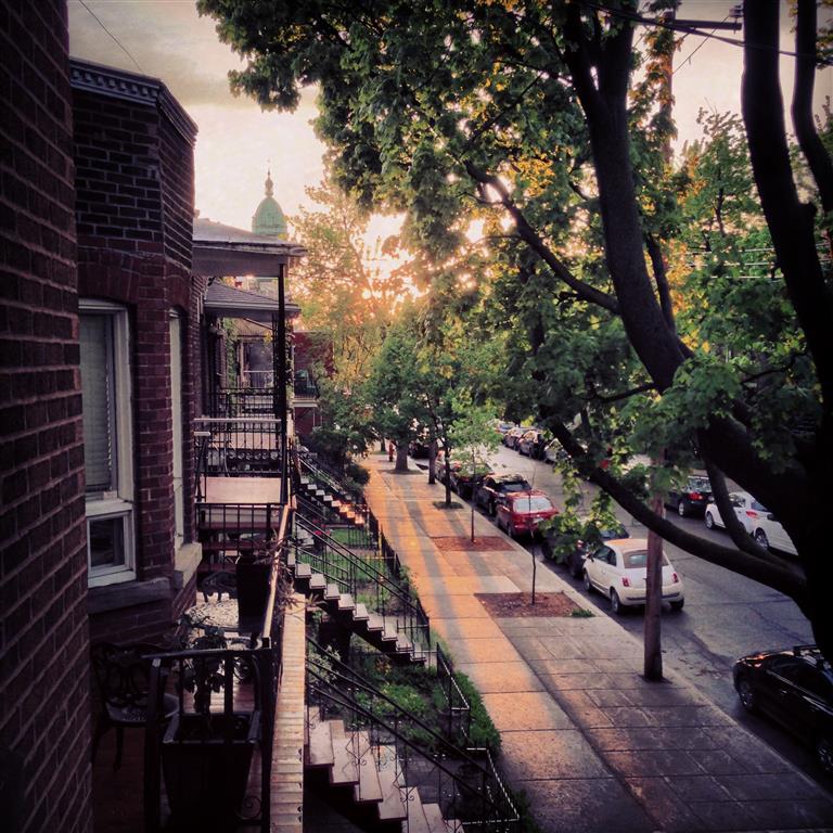
Villeray is a very active neighbourhood. Many shops and services can be found here, from the traditional corner store to bakeries and restaurants. The neighbourhood consists of many duplexes, triplexes, and condos. This area is ideal for people who wish to benefit from a lively neighbourhood and want easy access to downtown, but who, at the same time, would like a certain amount of peace and quiet. There are many public transit options.
Villeray was an independent town until 1905. An erstwhile rural area, Villeray continuously developed and urbaized over the course of the XXth century. Nowadays, the area boasts over 60,000 inhabitants and is part of the Villeray-Saint-Michel-Parc-Extension borough.
Features and attractions:
- Three subway stations: Jean-Talon, Jarry and Cremazie
- Lucien Page high school and Sainte-Cecile primary school
- Many green spaces such as Villeray and Normanville parks
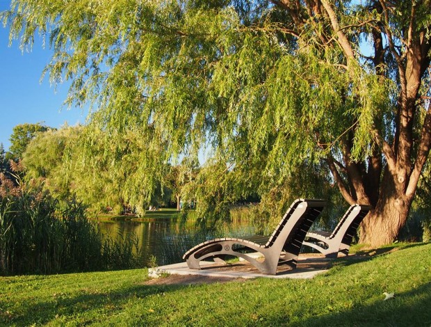
- Neighbouring Jarry Park, which has a bike path, a waterway, pedestrian walkways and abundant green space
Discover new condo projects in Villeray here.
Discover new houses in Villeray here.
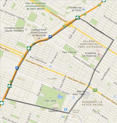
See the boundaries of Villeray in Google Maps.

Stock images: Shutterstock
Related articles
Most popular articles